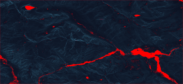
Terrain Ruggedness Pathfinder
Finding the easiest route up a mountain.
Built with 1/3 arc-second elevation data and an A* pathfinding approach to optimize for the least rugged route to a wingsuit exit.
Official Site
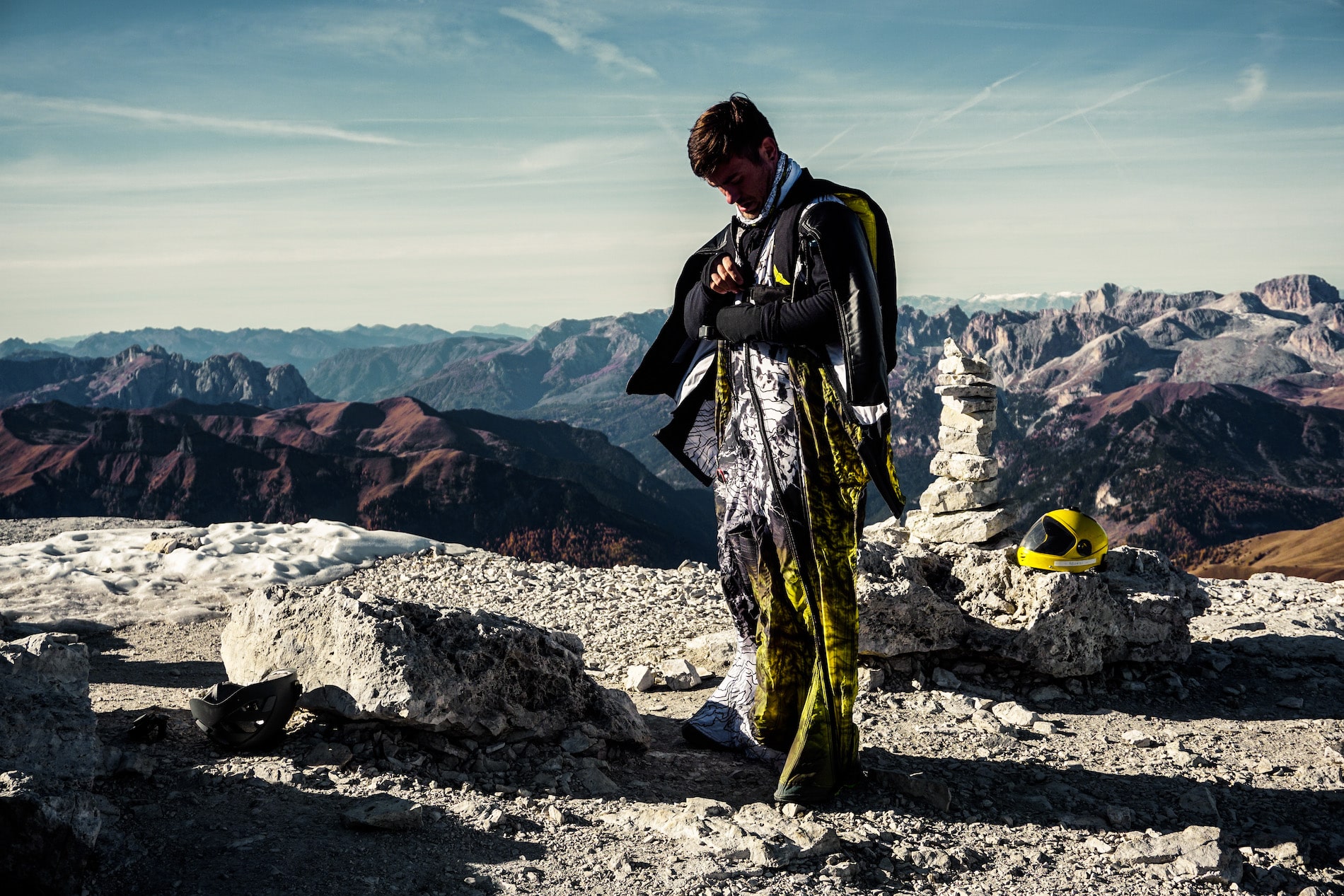
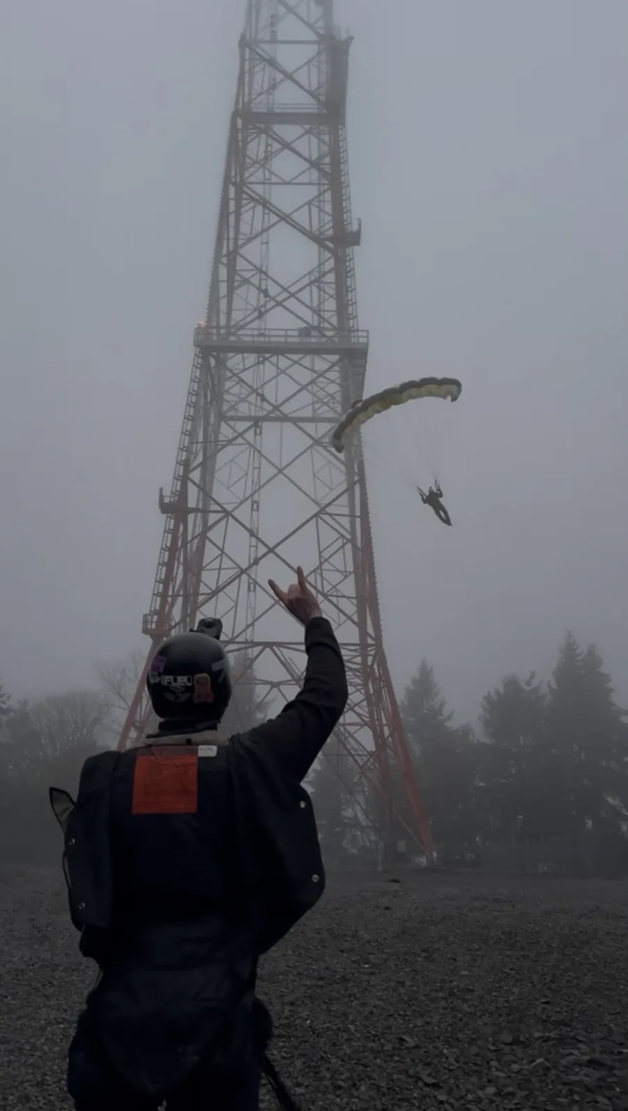
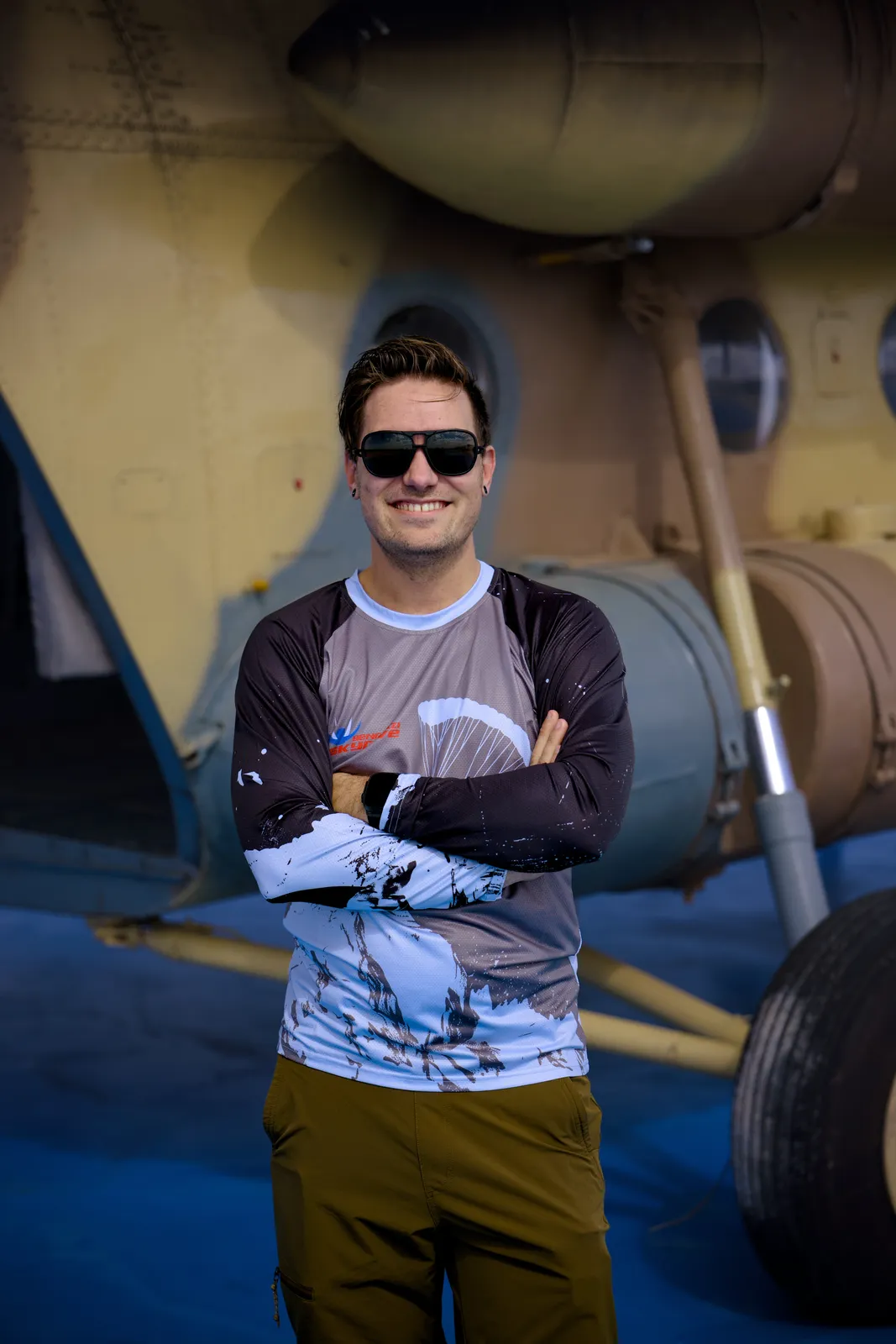
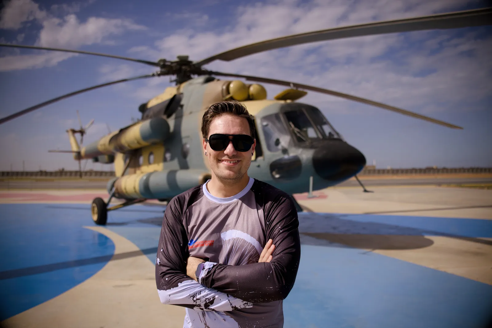
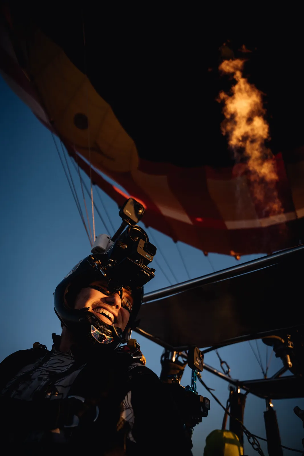
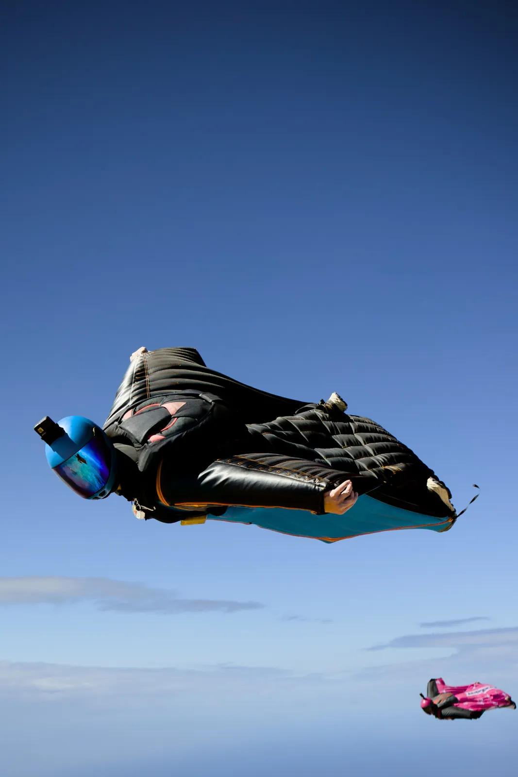
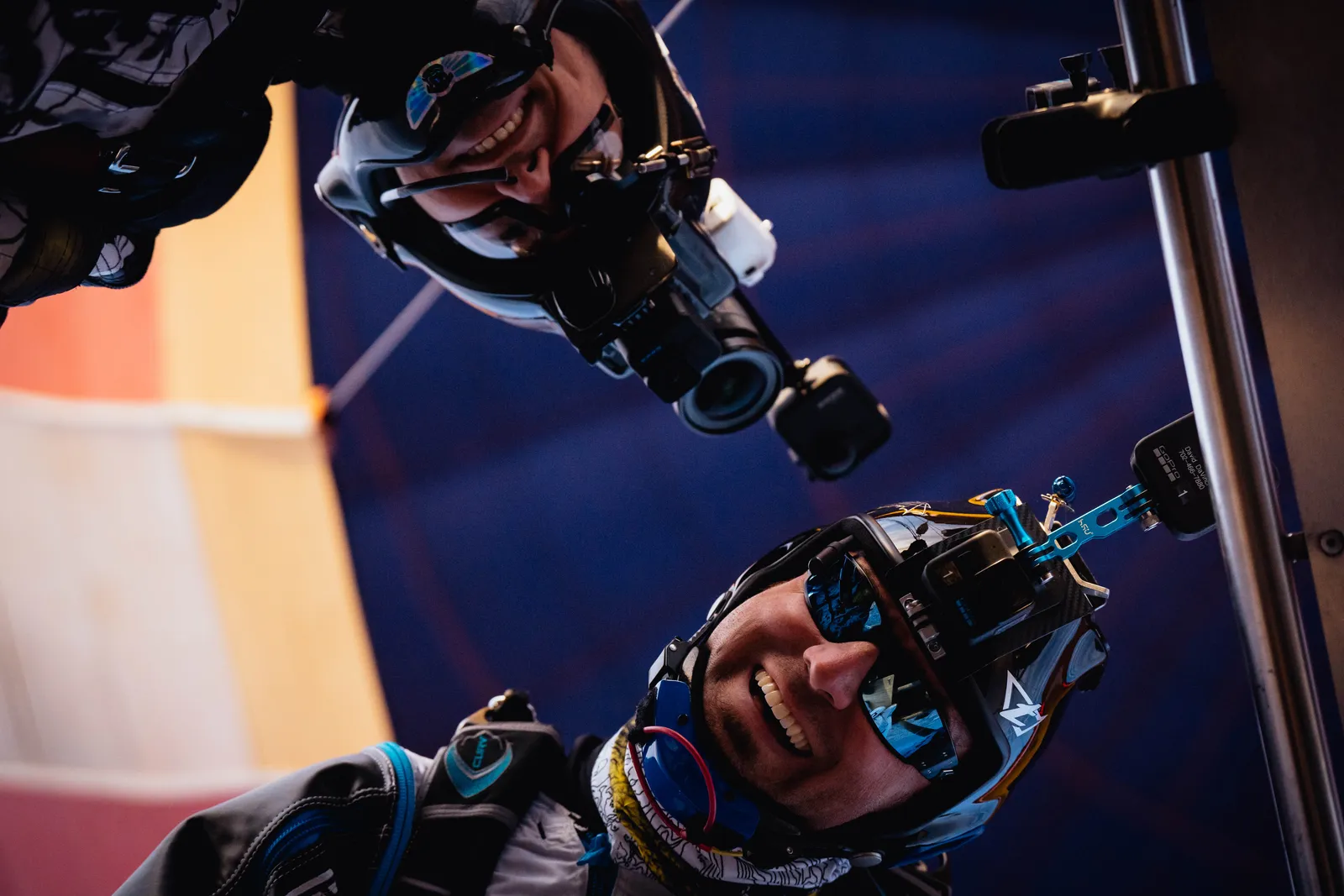
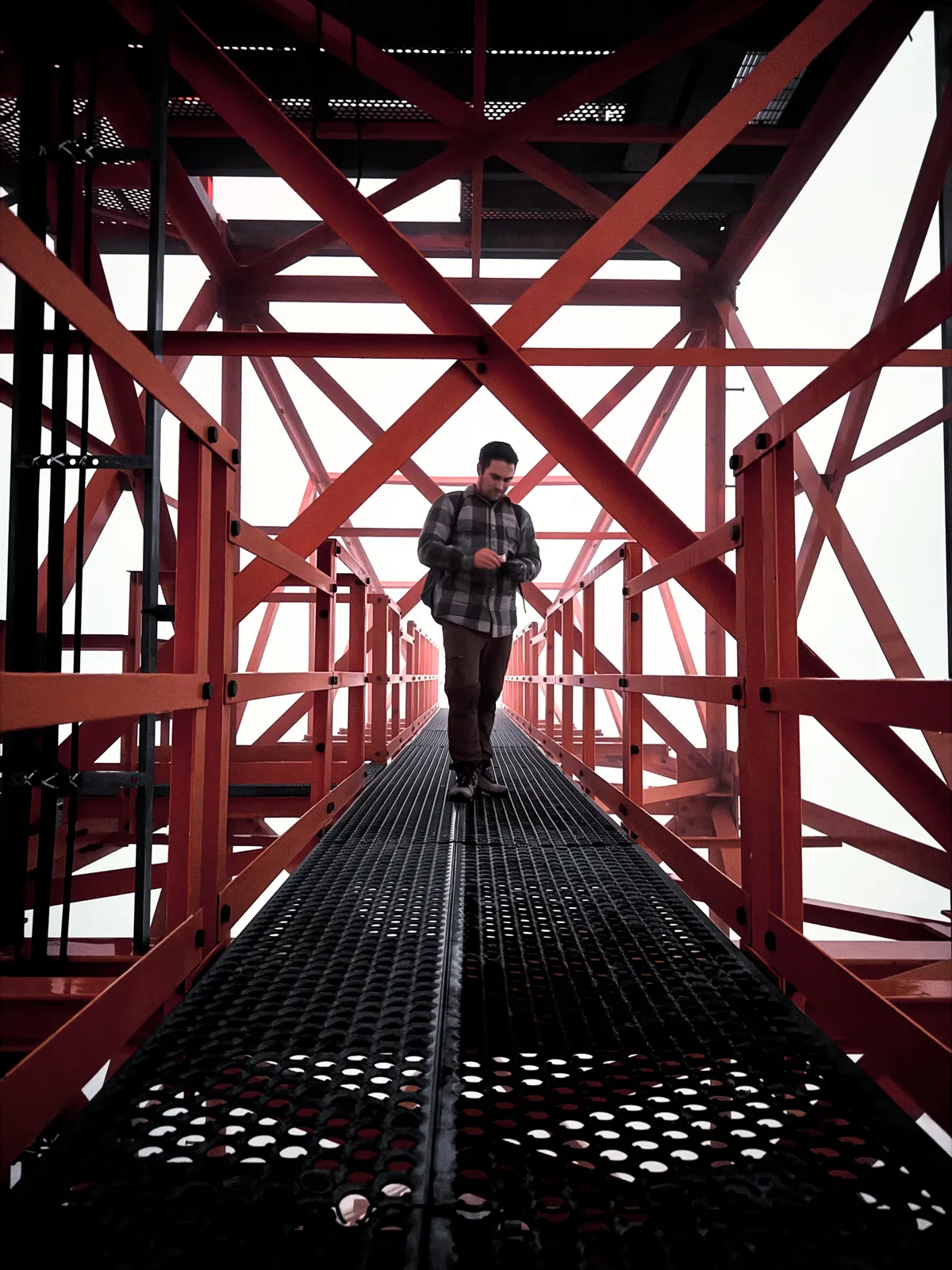
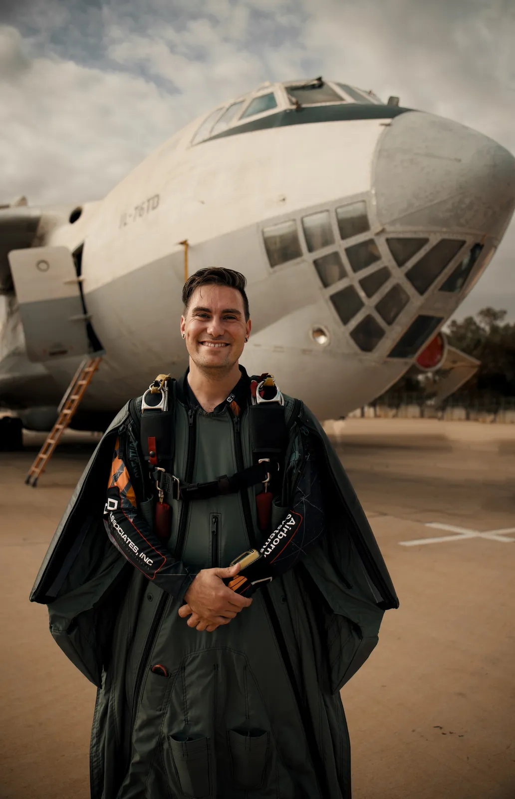
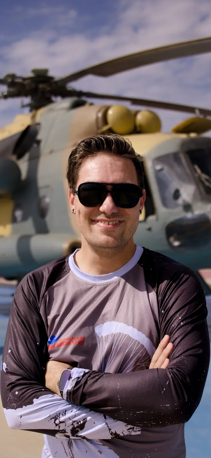
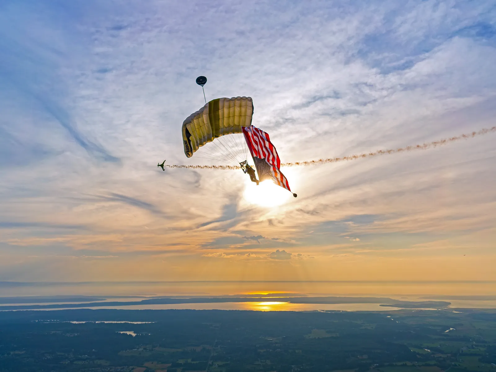
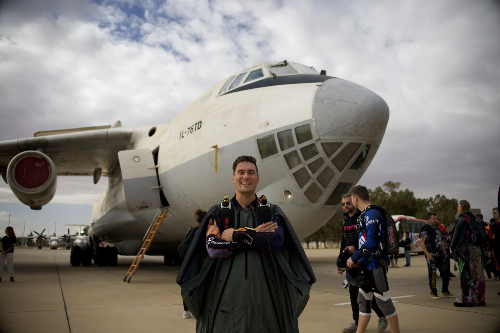
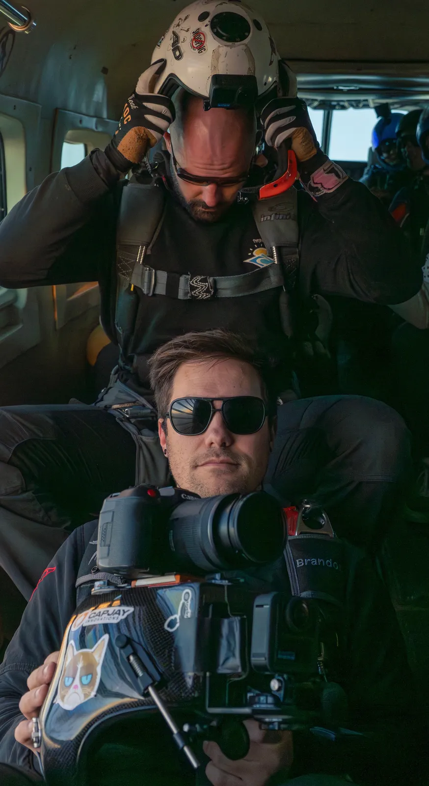
Skydiver, BASE jumper, helicopter pilot, Accelerated Free-Fall instructor, and Senior Parachute Rigger.
Enter StoryPlaces I Travel

About
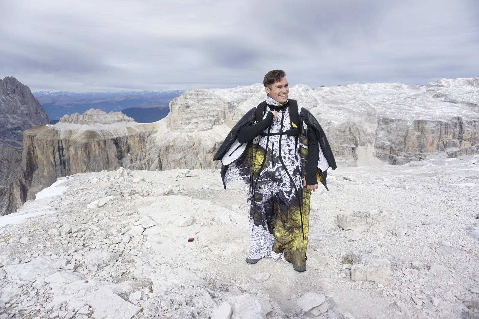
Braden Roseborough is a skydiver, BASE jumper, and helicopter pilot from Washington State in the USA. He is also a Senior Parachute Rigger and an Accelerated Free Fall Instructor who teaches people how to complete their first skydives. Once students have enough skydiving experience, he also teaches wingsuit first flight courses where they can fly a wingsuit for the first time.
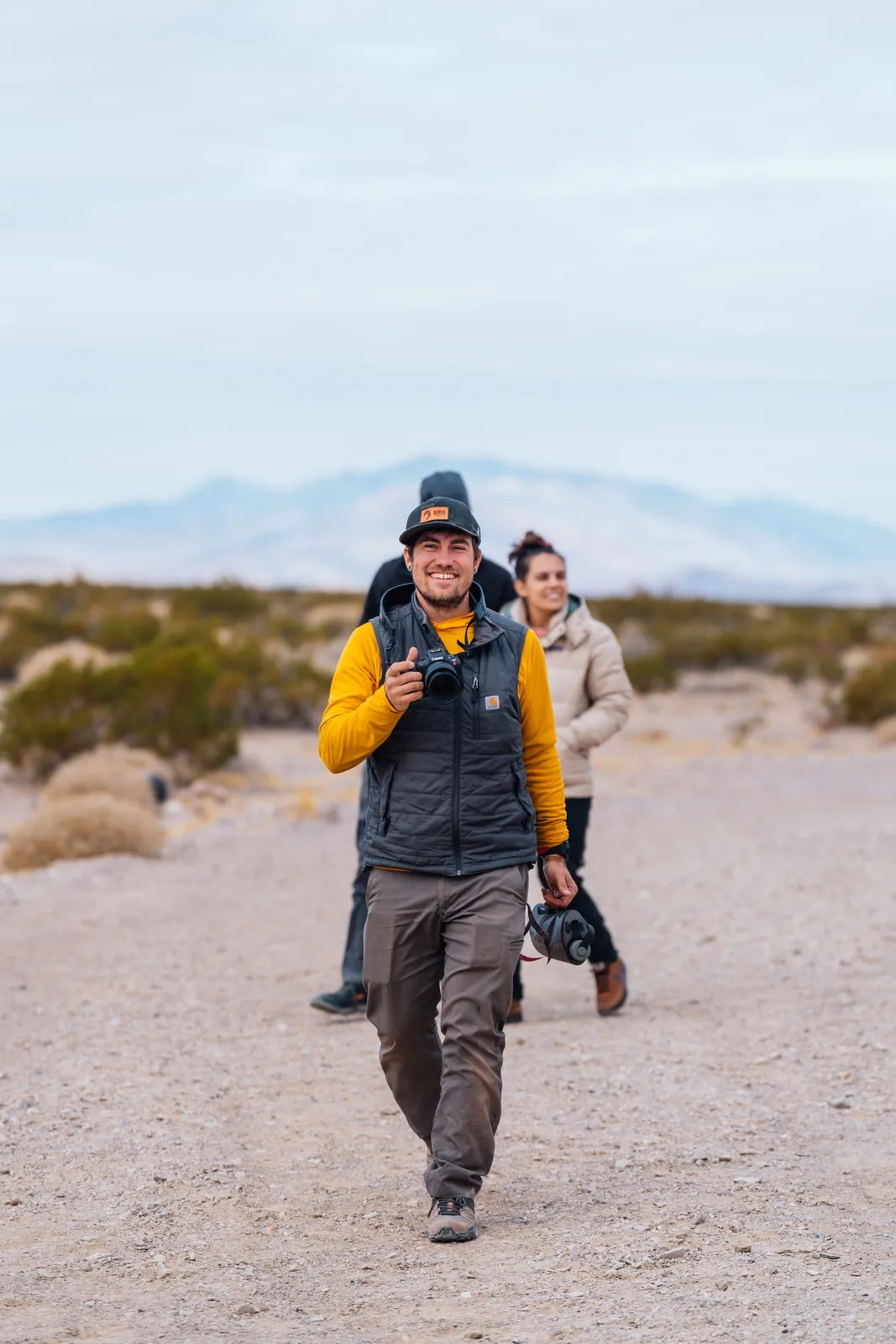
This experience has afforded him the ability to participate in extraordinary events and projects. This space was created to share that work with anyone interested in the projects he is building.
"When one man, for whatever reason, has the opportunity to lead an extraordinary life, he has no right to keep it to himself."Jacques Yves Cousteau
His professional background is in geospatial software engineering. After working for Amazon Prime Air in its foundational years, his GIS expertise carried into personal projects where he applies geospatial science to his passion for airsports.
Records
Press
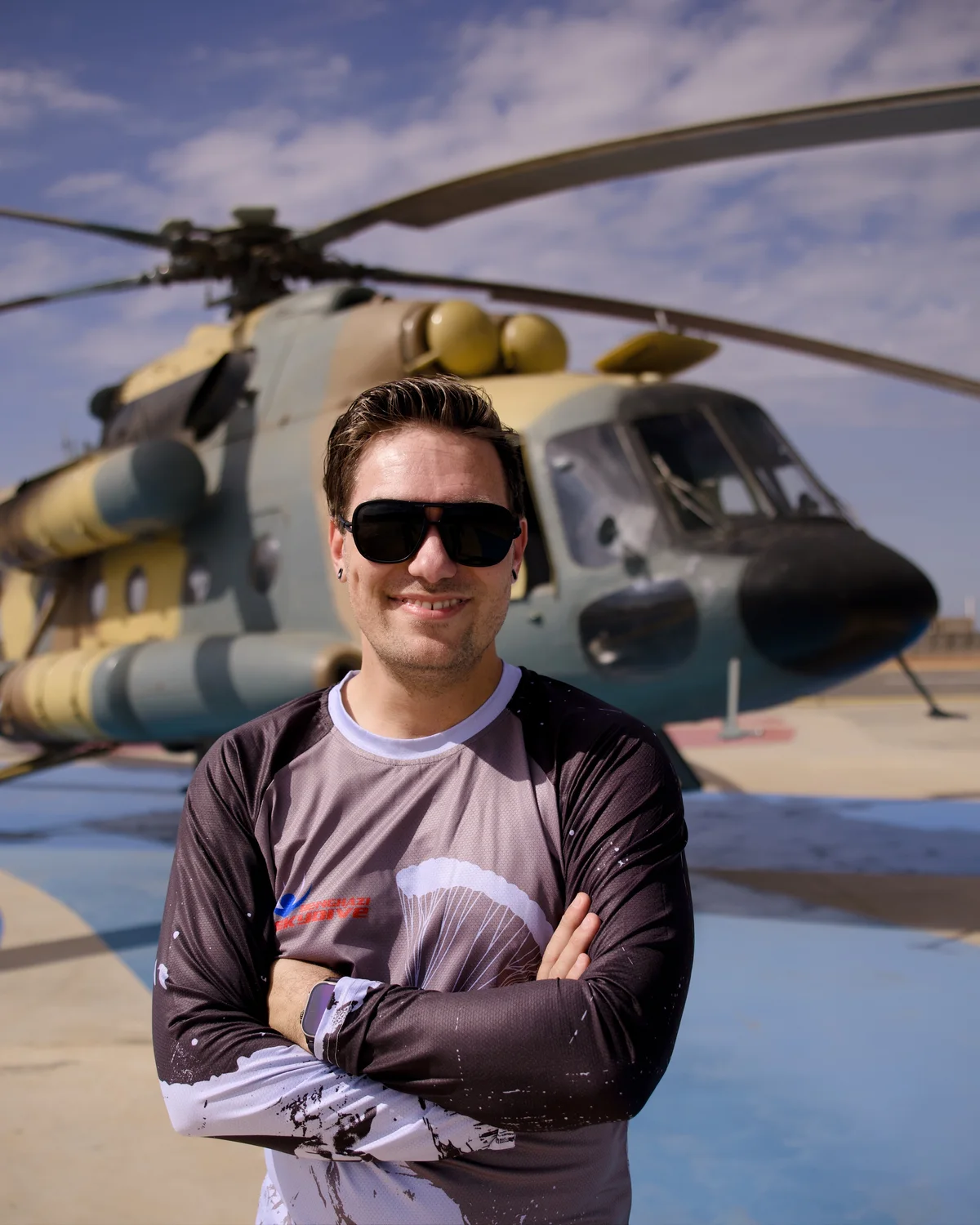
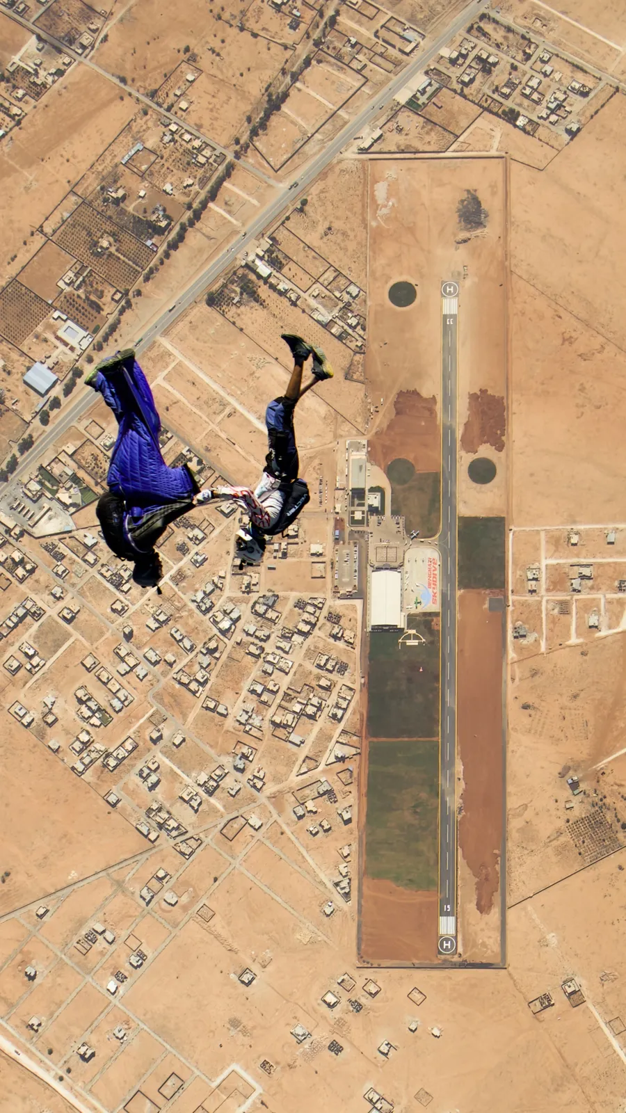
 WSPoint: Night Wingsuit World Record 19-Way in Benghazi
 Featured Profile in Parachutist Magazine
 CNN: Skydivers flock to Benghazi, Libya
 What No One Tells You About Being a Wingsuit Skydiver
 CanvasRebel: Meet Braden Roseborough
 Featured on The Jennifer Hudson Show
 From Code to Road: Skydiving Across the U.S.
 Interview with a Skydiver Wingsuit Pilot: Braden Roseborough
Seas the Day
Interview with a Skydiver Wingsuit Pilot: Braden Roseborough
Seas the Day
 Skydive West Plains hosted first annual wingsuit weekend
Closing In
Skydive West Plains hosted first annual wingsuit weekend
Closing In
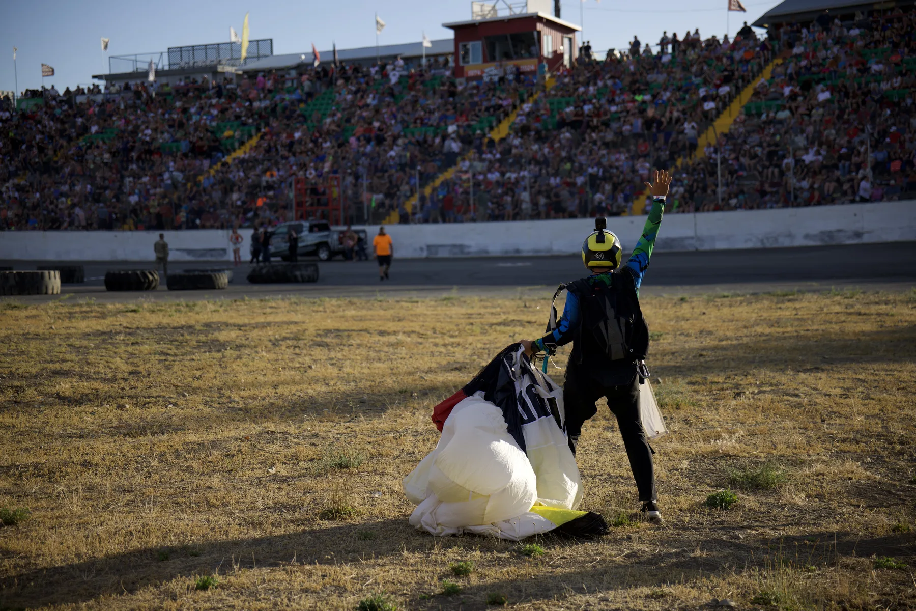
 Skydivers Hold Onto Each Other As They Dive Through The Sky
Sounding Off
Skydivers Hold Onto Each Other As They Dive Through The Sky
Sounding Off
Projects
Finding the easiest route up a mountain.
Built with 1/3 arc-second elevation data and an A* pathfinding approach to optimize for the least rugged route to a wingsuit exit.
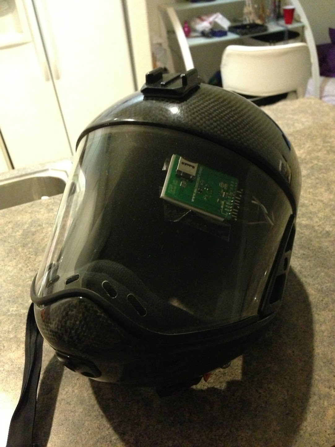
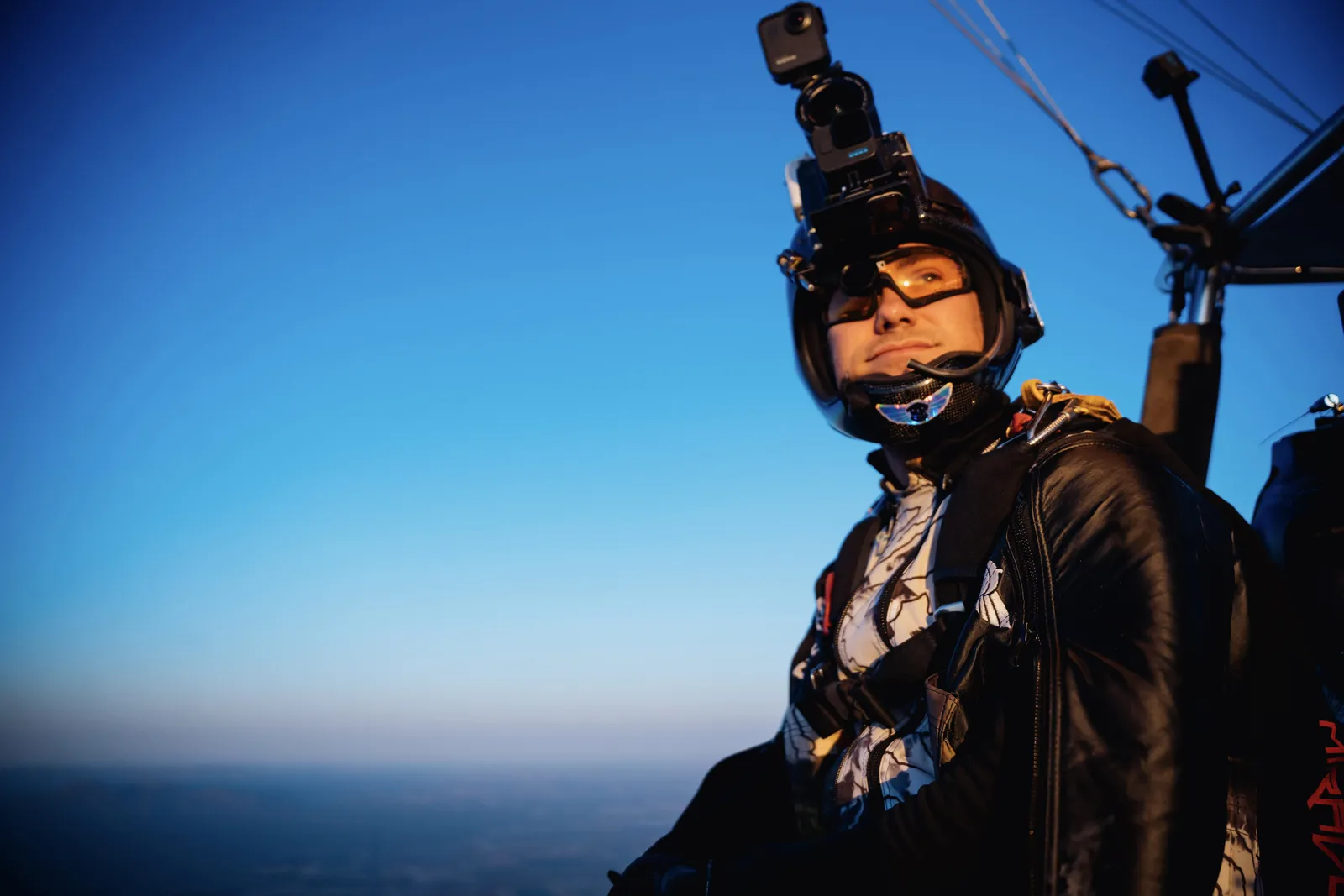
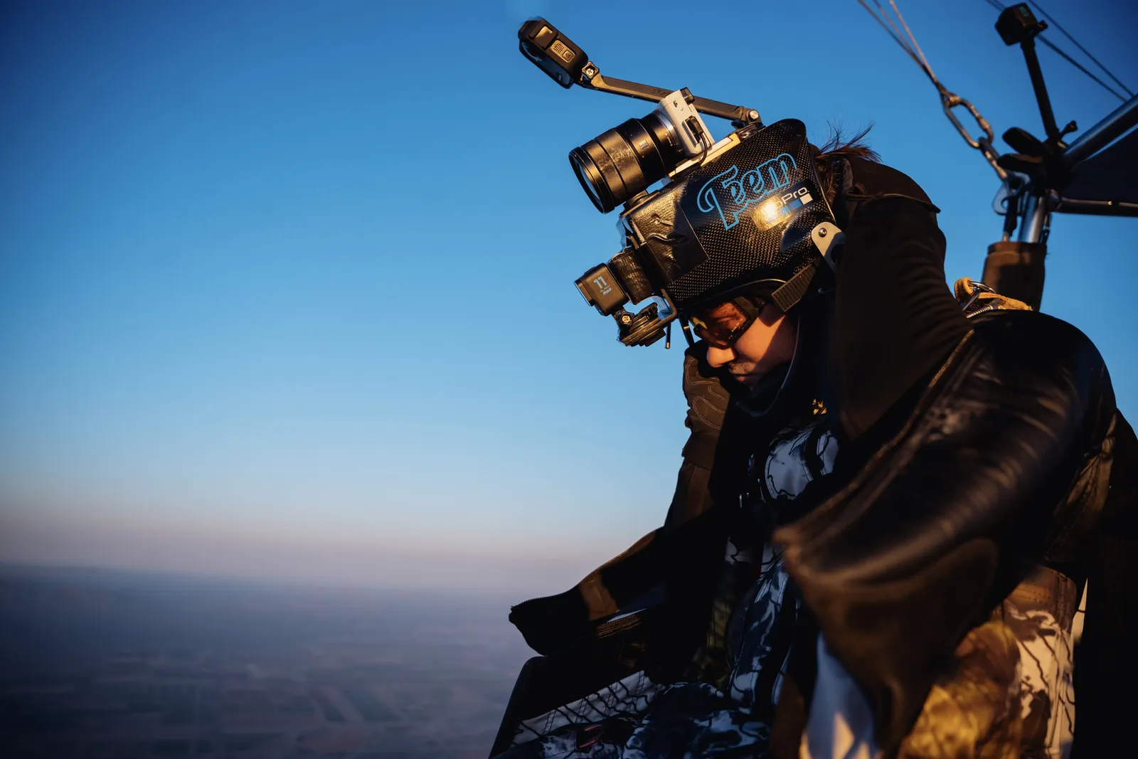
Constant altitude awareness.
A compact in-helmet visual altimeter to support real-time awareness and post-jump analysis of vertical speed, track, and glide ratio.
Field Frames


Timeline
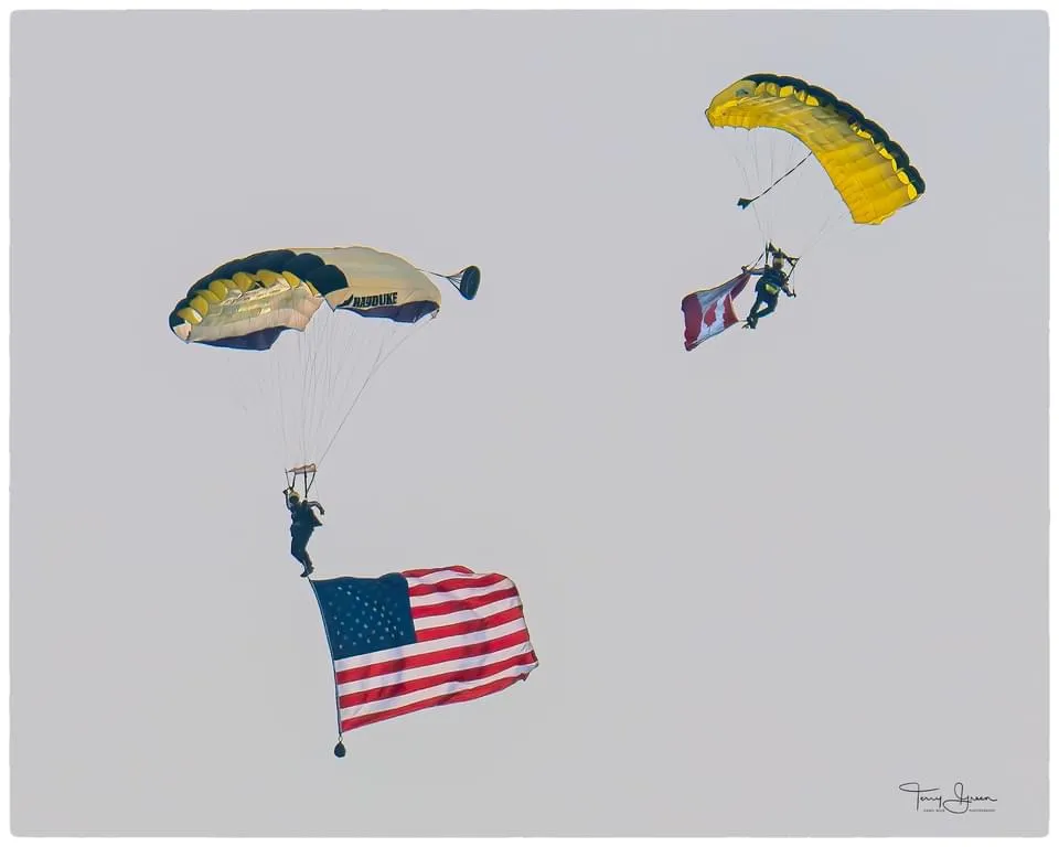
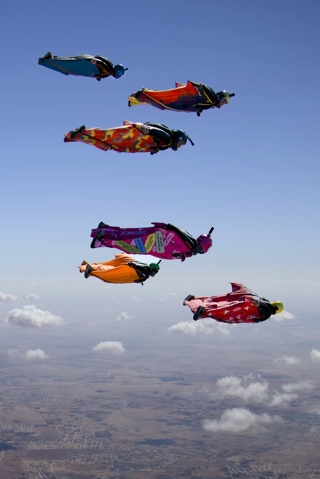
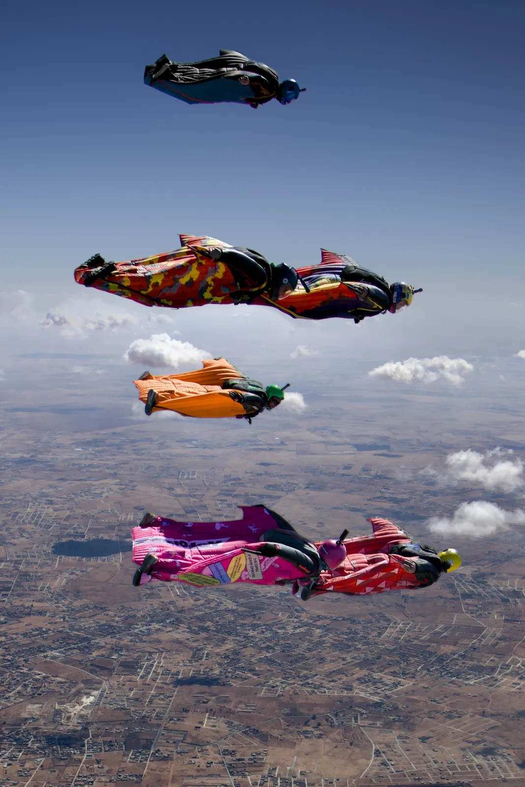
Set the Guinness World Record for largest night wingsuit formation (no grip) in Benghazi, Libya.
Set the Florida state WS - Large Formation (No-grip) Vertical record.
Set the FAI world record for Largest Vertical Formation - Wingsuit Flying no Grip, plus Washington state (horizontal and vertical), California state (vertical), and USPA Open National formation records.
Geospatial engineering at Unearth Labs. In the pandemic period, he pursued engineering opportunities to continue growing in GIS.
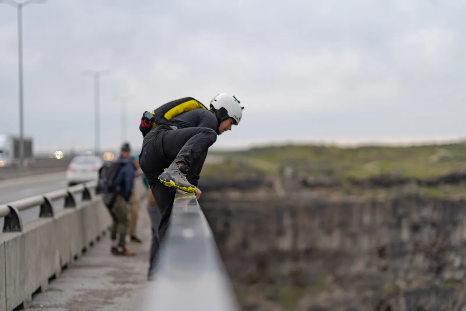
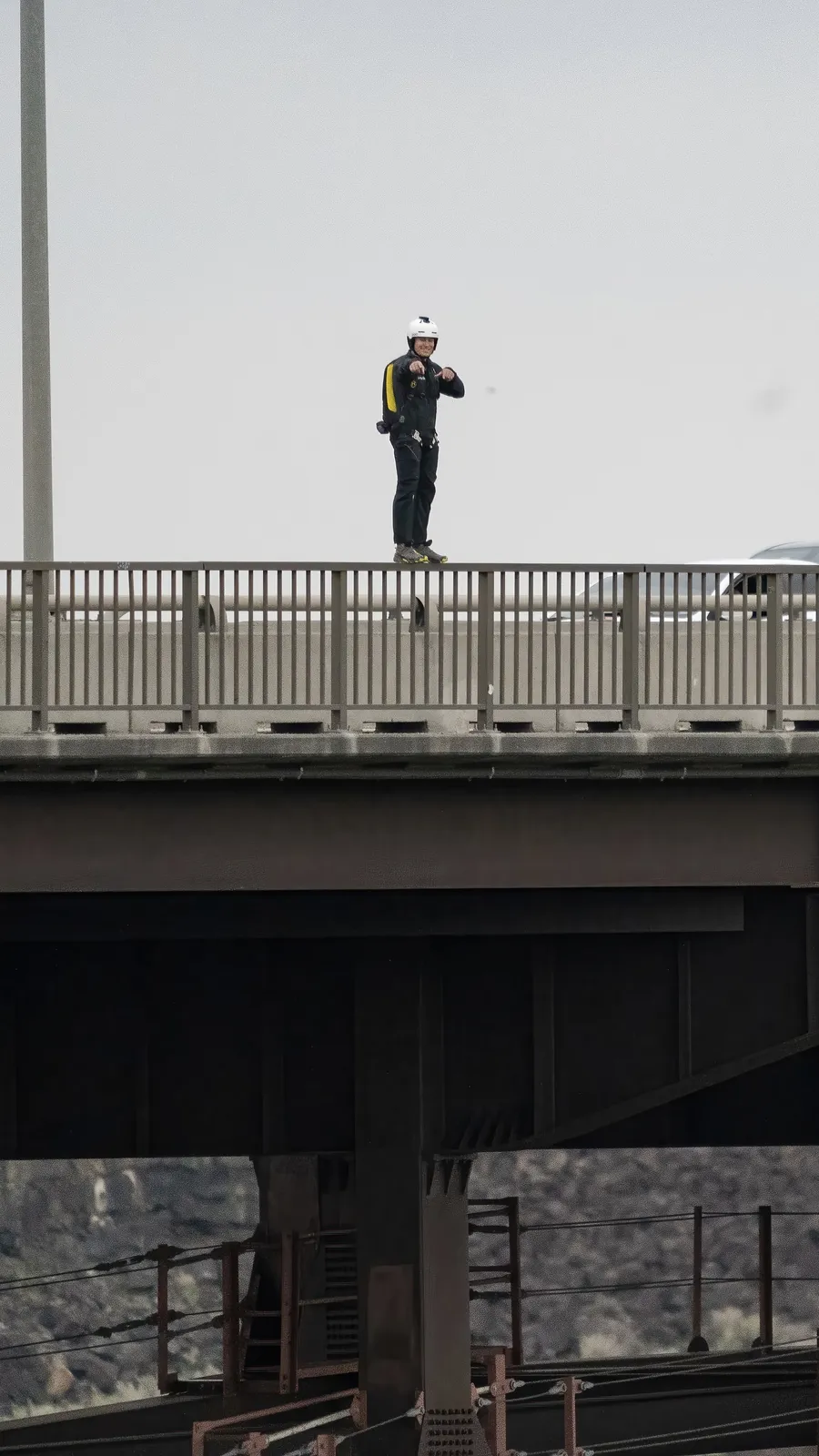
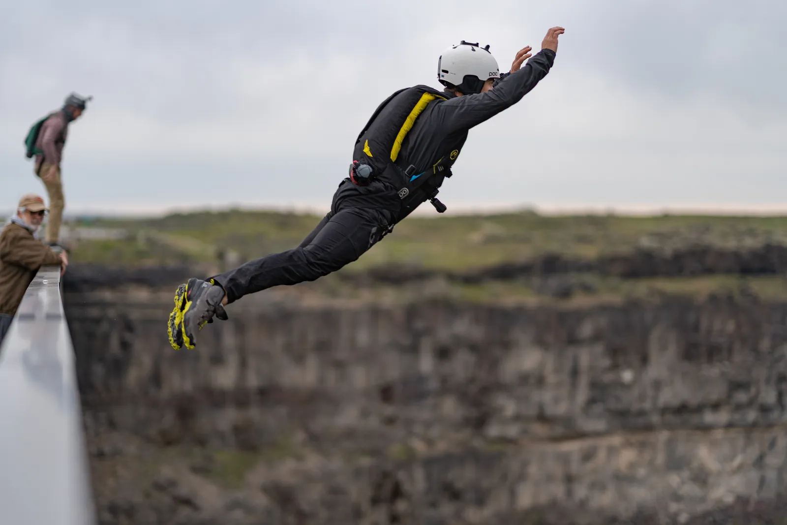
First BASE jumps with Sean Chuma at the Perrine Bridge in Twin Falls, Idaho.
Became a helicopter pilot in the Schweizer S300, and later flew the Hiller UH-12, Aérospatiale Alouette, and Robinson helicopters.
First wingsuit skydives at Skydive Kapowsin with Kasha Farrington in a Phoenix Fly Phantom 3.
Software engineering at Amazon Prime Air, building geospatial services, telemetry mapping, and terrain elevation data systems.
Completed skydiving license after a year of packing parachutes.
Started packing parachutes at Skydive Monterey Bay while studying at the University of California Monterey Bay.
Contact